December 24, 2009 Vol. 2, Issue 12
On December 18, 1999, the Terra satellite lofted into orbit to study the interactions between humans and the lands, oceans, and atmosphere.
Terra, the flagship of the Earth Observing System, became fully operational in February 2000. It has far surpassed its mission requirements and doubled its life expectancy of five years. The data Terra collects are being analyzed by teams of scientists all over the world to understand the impact that humans are having on the planet.
“One of the surprising aspects of Terra,” said Marc Imhoff, Project Scientist for Terra, “is that, here’s a mission that started out with a suite of instruments with their own objectives — to make separate observations of the land surface, the oceans, the atmosphere — but also worked together to advance the frontier of integrated Earth systems science.” Imhoff said they are not only studying climate but also seeing the data used for other applications like understanding how land cover change and climate affects honeybee populations, which are critical to agriculture.
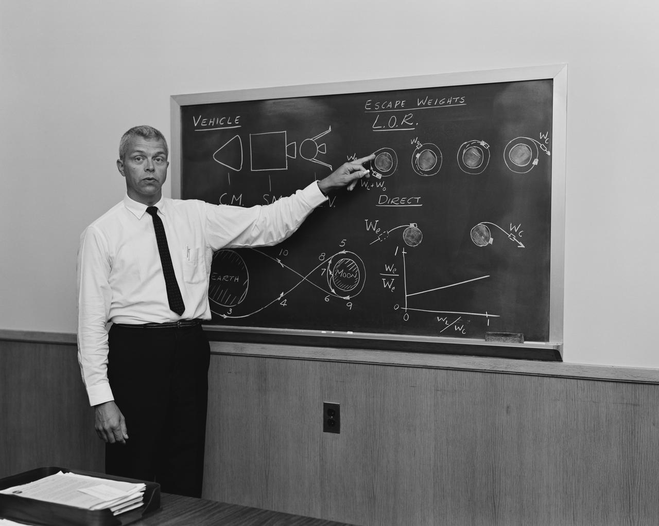
Chris Scolese and Mike Ryschkewitsch discuss their career paths and the challenge and success of working on the MODIS instrument for the Terra satellite. Video Credit: NASA
Each of Terra’s five instruments — MODIS, ASTER, CERES, MOPITT, and MISR — captures various aspects of the globe’s processes, measuring various aspects of clouds, ozone, fires, ocean color, snow and ice, and pollutants in the atmosphere. “Initially, [we] were focused on primarily demonstrating the capacity of each individual instrument,” said Imhoff, “but over time, what I find exciting is how they’re being used together to begin to tie together processes –Earth system processes — that are linked.”
The heritage of each of Terra’s instruments tells a story of how Earth observing satellites have evolved. For instance, the Advanced Very High Resolution Radiometer (AVHRR) that flew on NOAA-16 in 1998 offered the only viable source of data for global land cover mapping. MODIS (MODerate-resolution Imaging Spectrometer) built upon AVHRR’s heritage by improving the spectral, spatial, geometric, and radiometric attributes for monitoring and mapping global land cover. Additionally, MODIS borrows from the Thematic Mapper from Landsat-4 and the Coastal Zone Color Scanner that flew on Nimbus-7 in 1978.
MODIS raised the bar for what can be expected from satellite instruments, but not without a challenge. With the clock ticking toward launch, the MODIS team discovered that when clouds were present in a field of view, the instrument produced ghost images on the pixels. The team tackled the problem by finding the necessary expertise, and ended up with an instrument that exceeded everyone’s expectations. In a Masters with Masters interview, Mike Ryschkewitsch remarked that after MODIS, “We find that we can live with no less than what we used to think was going to be darn near impossible.”
Terra includes two international partners: MOPITT (Measurement of Pollution In the Atmosphere) is a product of the Canadian Space Agency and the University of Toronto and ASTER (Advanced Spaceborne Thermal Emission Reflection Radiometer) was built in Japan for the Ministry of Economy, Trade, and Industry.


