Back to Top
View NASA APPEL Images on Flickr
Subscribe to NASA APPEL's RSS Feed
About
Contact Us
Open site searchbar
Insight
INSIGHT
Thank You for Reading INSIGHT
August 19, 2025 // by
INSIGHT Staff
Podcast Episode 159: StarBurst: Gamma-ray Hunter
August 6, 2025 // by
Andres Almeida
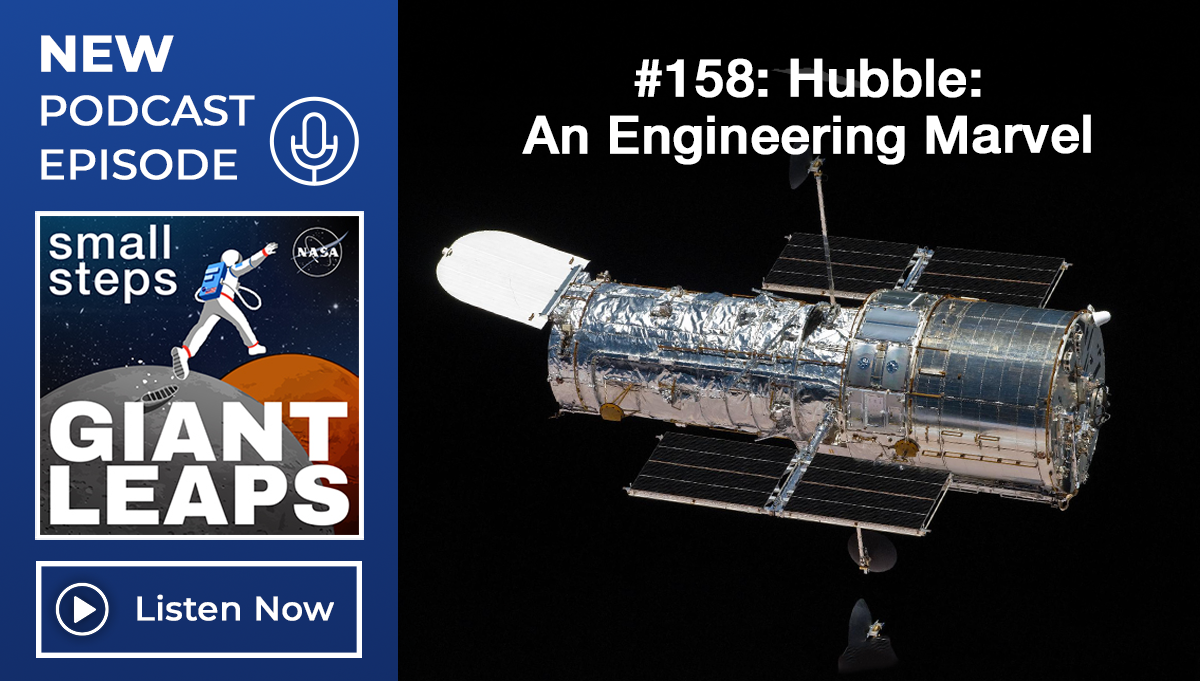
Podcast Episode 158: Hubble: An Engineering Marvel
July 24, 2025 // by
Andres Almeida
Read More
Subscribe to INSIGHT
Expanding perspectives every month.
Subscribe
Podcast
Explore
Menu
Search
Home
Career Development
Curated Curricula
Competency Models
Development Frameworks
Maximize Your Learning Experience
Project Management Success Lab
Project Management Bridges Mentoring Program
Systems Engineering Leadership Program (SELP)
Accreditations & Affiliations
Defense Acquisition University
Course Catalog
Course Support
Center Points of Contact
Maximize Your Learning Experience
Registration Overview
Virtual Backgrounds
Critical Knowledge
INSIGHT Publication
Apollo Era Resources
Case Studies
Knowledge Capture and Transfer
Knowledge Sharing Tools
NASA Knowledge Community
NASA Knowledge Management Competencies
Shuttle Era Resources
Lessons Learned
Spotlight on Lessons Learned Series
Lessons Learned Lifecycle and Highlights
Databases
Program & Project Management
Project Management Courses
Program Management Series
NPR 7120.5 Revision F Rollout Briefing (NASA Only)
NPR 7120.5 Tailoring Resources (NASA Only)
NASA FAC-P/PM Certification Program
Systems Engineering
Courses
Office of the Chief Engineer Handbooks
Relevant Documents
Affiliations
Watch, Listen, Learn
Small Steps, Giant Leaps Podcast
Quick Webinars
On-Demand Courses
Project Knowledge Expo
NASA Knowledge on Video
Knowledge Inventory
Technical Authority
Support
Nighttime Precision Landing Challenge
Home
/
Nighttime Precision Landing Challenge