


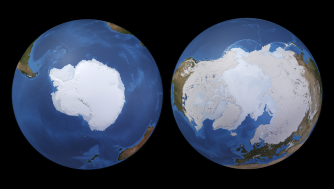
Computer generated image of Earth's polar regions–the South Pole on the left and the North Pole to the right. Image Credit: NASA
PREFIRE will examine heat loss from the rapidly changing regions and gather data to improve weather models.
On December 14, 1911, Roald Amundsen stood at the South Pole, surveying a sheet of white that extended vast distances beyond him in all directions. It had taken years to reach this point, including two months trudging through deep snow with dog sleds, skirting perilous cliffs and crevasses. And now the child who had dreamed of reaching the North Pole had grown into the man who was standing as far away from that goal as possible. Scanning the frigid distance, he had no way of knowing the important role this foreboding landscape plays in Earth’s climate.
In fact, science is still working to quantify the role Earth’s polar regions play and how that role might change as the areas warm and ice cover diminishes. NASA will soon launch a pair of small cube satellites to quantify how the polar caps help the planet shed heat in the form of radiation. The mission is known as PREFIRE, an acronym for Polar Radiant Energy in the Far InfraRed Experiment.
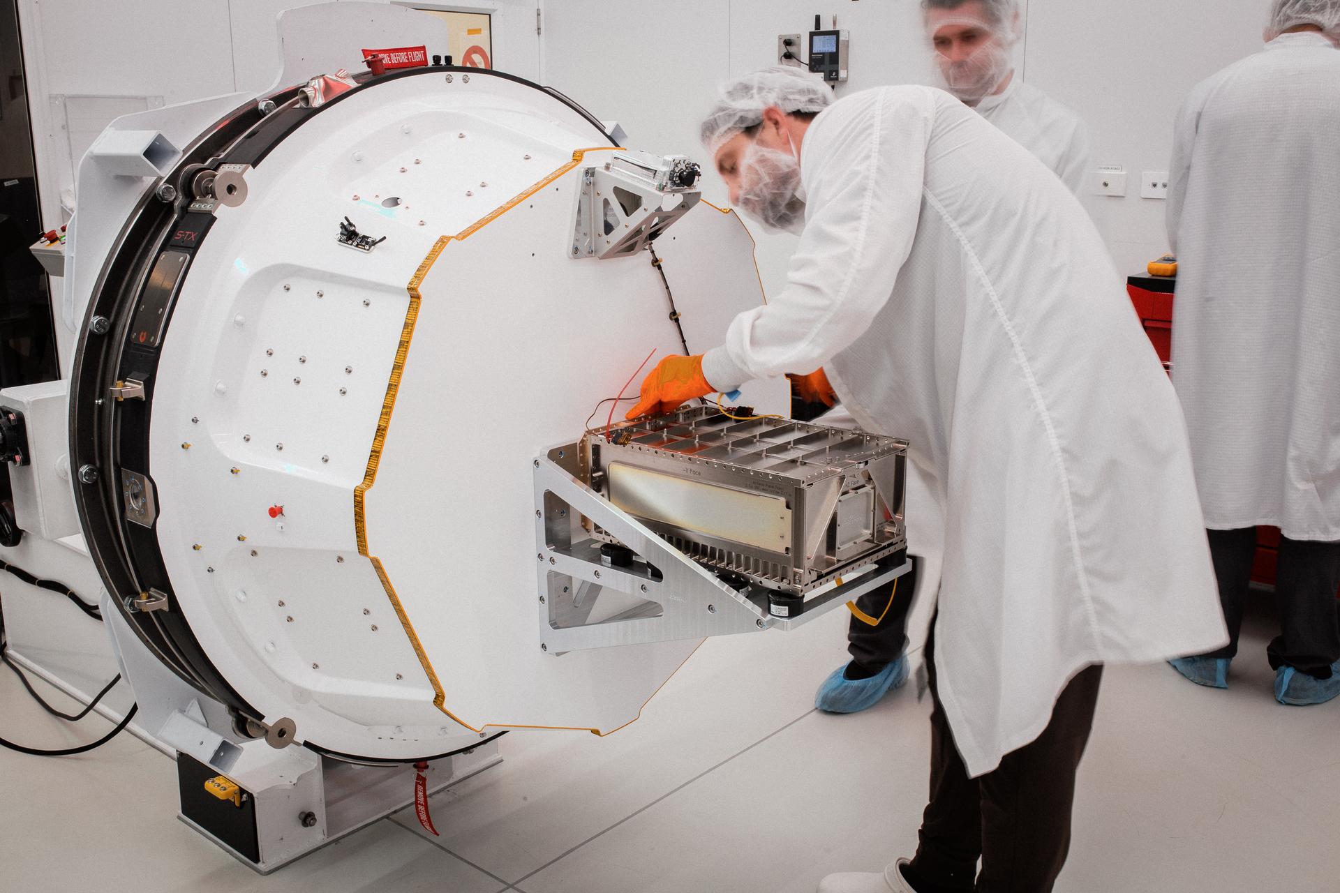
Technicians integrate NASA’s PREFIRE payload inside the Rocket Lab Electron rocket payload fairing on Wednesday, May 15, 2024, at the company’s facility in New Zealand. Photo Credit: Rocket Lab
“The goal of PREFIRE is to start to monitor the amount of heat that is being radiated to space from the polar regions,” said Tristan L’Ecuyer, PREFIRE’s principal investigator, speaking at a NASA media conference. “This is critical because it actually helps to balance the excess heat that’s received in the tropical regions and regulates the Earth’s temperature. The process of getting the heat from the tropical regions to the polar regions is what drives all of our weather around the planet. So, the heat loss in the polar regions is critical for everything that we experience in terms of weather around the planet.”
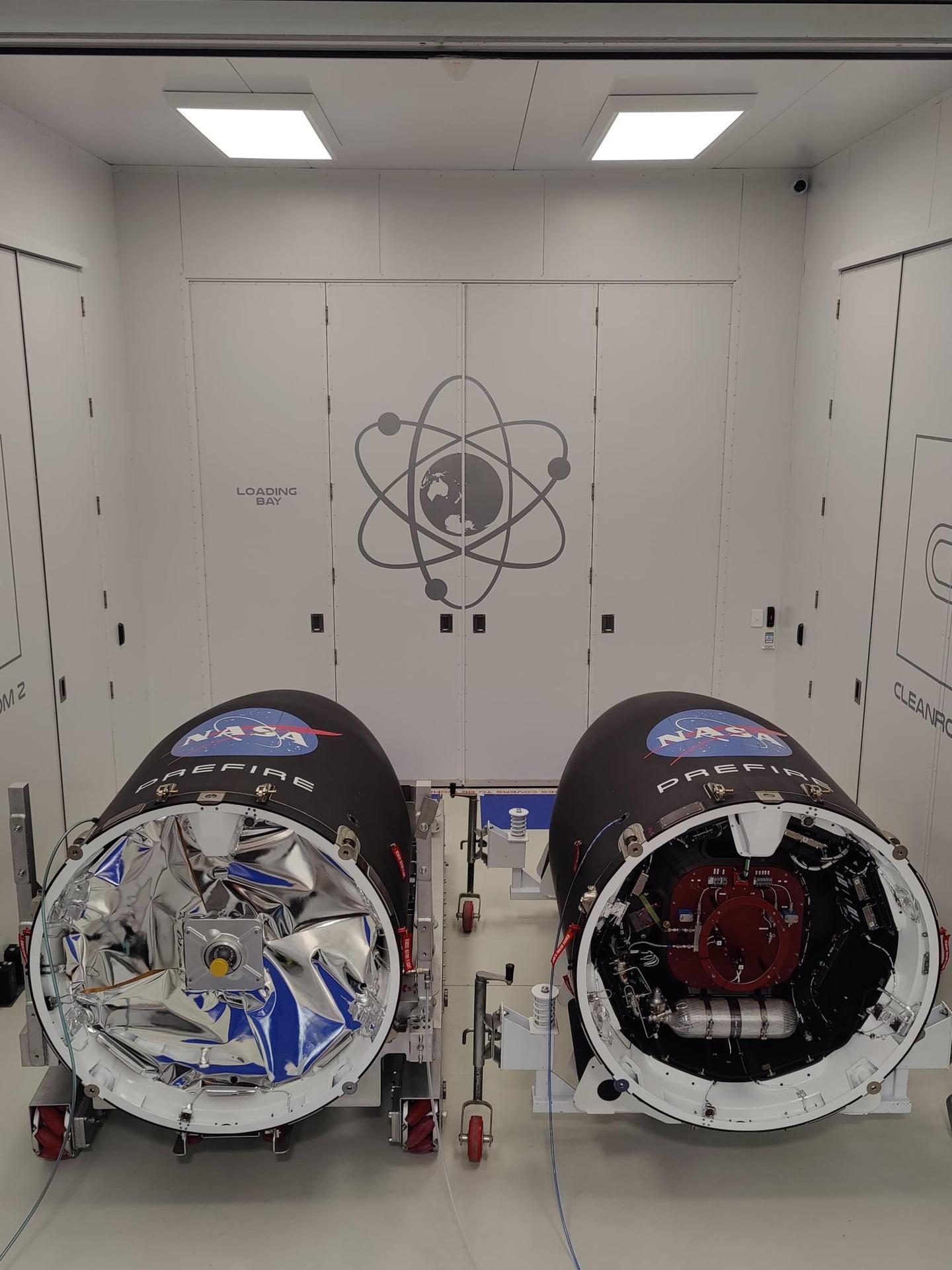
The PREFIRE mission comprises two identical cube satellites, about the size of shoeboxes for hiking boots. Each carries a single Thermal IR Spectrometer (TIRS). The TIRS is an Offner-based system that has been optimized for small applications. It is a flight-proven design that is similar to the technology used for the Moon Mineralogy Mapper optical system, which found water molecules at the Moon’s south pole in 2009 and contributed to the first mineralogical map of the lunar surface.
The first PREFIRE satellite will launch no sooner than May 25, 2024, aboard an Electron Rocket provided by Rocket Lab, from a launch complex in New Zealand. The Electron Rocket is a two-stage, small diameter launch vehicle designed to place satellites in orbit. The second PREFIRE will likely launch days later. The two satellites are slated for asynchronous near polar orbits, crossing over Earth’s polar regions at different times.
“Having one CubeSat, [you] would be able to … map out what the emission looks like in the polar regions. But by having a second CubeSat fly over about six hours later, we’ll be able to understand how changes—like melting of the ice sheet, or a cloud forming, or an increase in the amount of moisture in the atmosphere—affect the emissions between the two different CubeSats,” L’Ecuyer said.
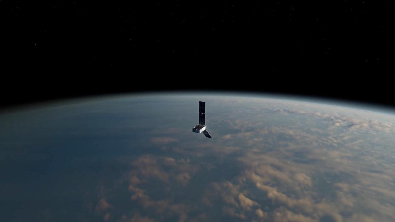
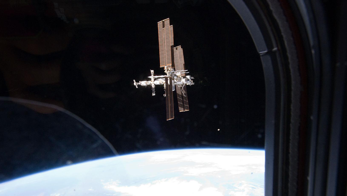
This artist’s concept depicts one of two PREFIRE CubeSats in orbit around Earth. Image Credit: NASA/JPL-Caltech
“So, we’ll be using the two CubeSats to make measurements over the course of several hours apart, taking the difference between those measurements and trying to understand how the processes that are occurring in the Arctic are actually affecting the emissions from the Arctic,” he added.
Current climate models, although based on aircraft observations, contain assumptions about emissions from the polar regions, especially in the longer far infrared wavelengths. Estimates are that nearly 60 percent of Arctic emissions occur at these wavelengths, which have never been systematically measured.
“The goal is working with these climate modeling teams…, once we make the observations, … so that they can improve those aspects of the climate model and make sure that the model is doing what we’re observing from space,” L’Ecuyer said.
NASA’s PREFIRE CubeSats are encapsulated inside Rocket Lab Electron rocket payload fairings on Tuesday, May 21, 2024, at the company’s facility in New Zealand. Photo Credit: Rocket Lab
With this information in the models, the teams can then more accurately simulate future climate scenarios for decades or centuries in the future, modeling for increases in carbon dioxide in Earth’s atmosphere and the impacts of those increases on the polar regions, which are already changing dramatically.
“They can see then how this new information has affected the temperature in the Arctic, the speed at which the glaciers and the Arctic are melting, and the speed at which sea level is rising,” L’Ecuyer said. “They’ll also be able to see whether or not the new information changes the forecast for how many wildfires we might see, how dry it might become in certain regions, or how wet it might become in other regions, and how much snowfall we may be seeing or what lack of snowfall we may actually end up encountering because of climate change.”
Once the PREFIRE satellites are in orbit, their buses will require about five days for checkout, according to Mary White, PREFIRE project manager at NASA’s Jet Propulsion Laboratory. “Then they will turn on the instrument and we need about five days also to check out the instrument. We’ve actually allowed for up to a month to get both the bus and the instrument checked out. We might get into a little bit of calibration in the second half of that month, but we’ll be bringing down data from the instrument, preliminary data, starting probably five or six days into the mission.”
The PREFIRE mission, with its smaller payload and commercial launch services, provides a cost-effective solution to answering important, targeted questions, according to Karen St. Germain, the Division Director of NASA’s Earth Science Division. “NASA needs both our large missions and these smaller missions. You can think of them in some ways as generalists versus specialists to answer that full range of questions we have about understanding the Earth as a system.”