

Vol. 6, Issue 1
Ten years after an unexpected anomaly, the lessons and knowledge of the ICESat mission live on in current and future missions.
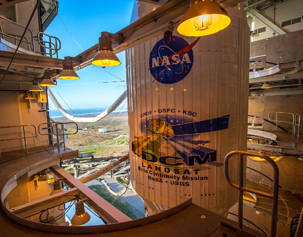
The Ice Cloud and Elevation Satellite (ICESat) spacecraft was launched on January 12, 2003 on a Delta II rocket from Vandenberg Air Force Base. Its primary mission was to take measurements that would help scientists predict changes in ice volume and sea level. Other objectives included measuring cloud and atmospheric properties. Flip through the Flickr slideshow below to learn more about ICESat.
View the slideshow on APPEL’s Flickr page.
ICESat Resources:
Read the Independent GLAS Anomaly Review Board Executive Summary.
Read a Goddard Space Flight Center paper about GLAS on-orbit measurement performance.
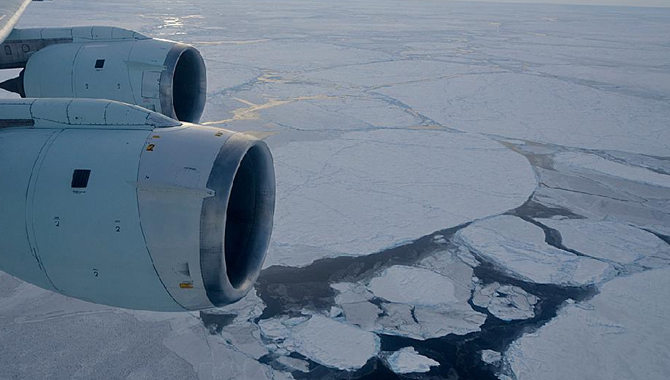
View the IceBridge Antarctic 2012 Flickr Set.
Following one final ice stream survey flight over the Weddell Sea Nov. 7, NASA’s DC-8 flying lab returned to its base in Palmdale, Calif., Nov. 10.
Featured Photo Credit: NASA / Michael Studinger